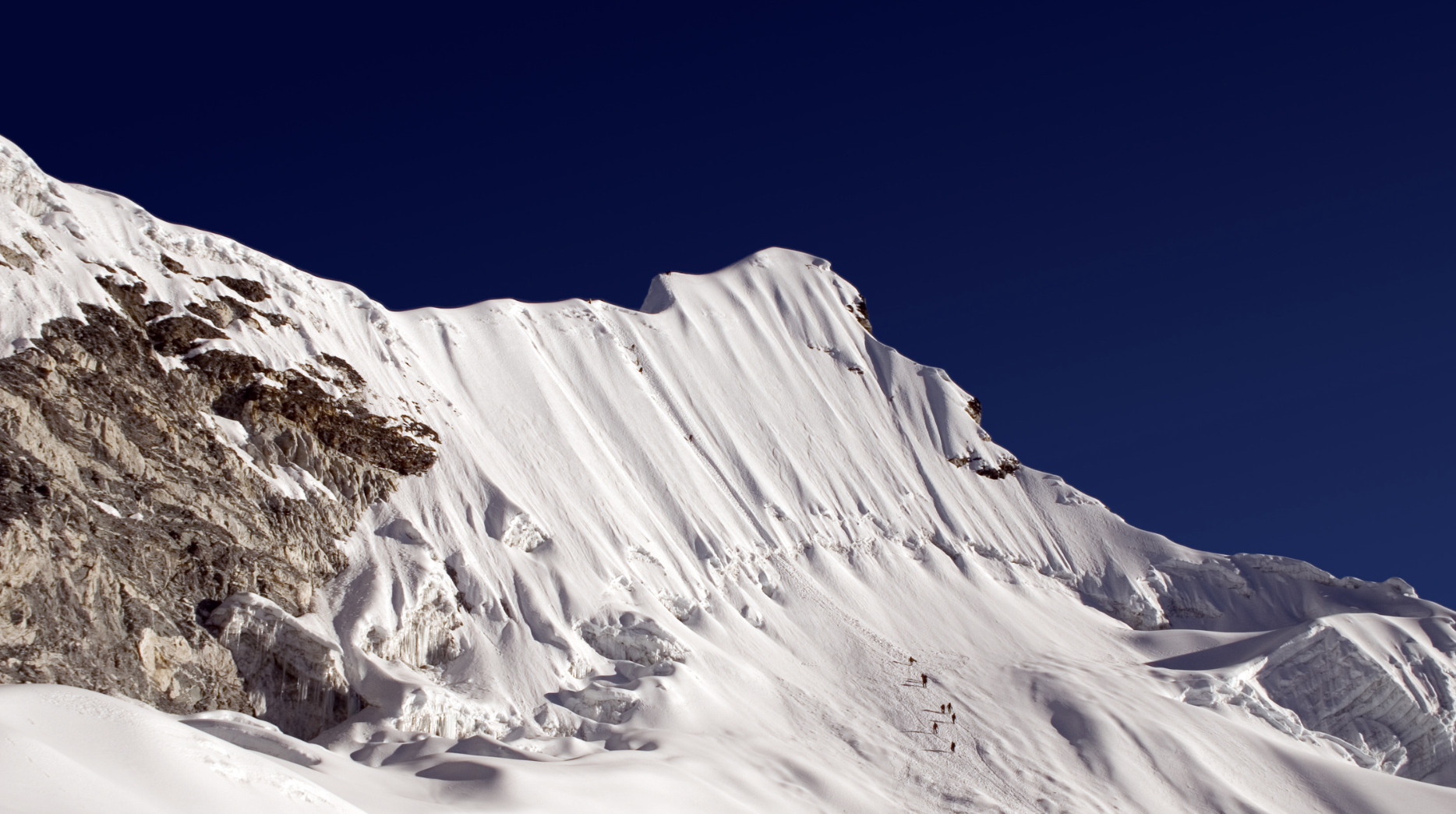
Where Is The Annapurna Circuit Trek?
In central Nepal in the Himalayan Mountain Range
Do I Need To Train For ACT?
Yes you absolutely do. Most of the days are about 5 to 6 hours long and 10 to 15km in distance. But on other days you may be trekking for up to 16 hours and covering distances of 20km at altitude with some serious ups and downs. Although there aren’t too many of the super long days, the accumulation of daily trekking, altitude and then some very hard days can lead to you feeling exhausted and not quite so joyful as you’d expect in such magnificent scenery.
If you want to enjoy it, feel confident from your very first step and of course make it the whole way then you need to train. Here is the ultimate guide to training for the ACT “A Step-By-Step Manual To Mountaineering & Trekking Around The World”. If you’re looking for a coach to help you prepare then check out my Mountaineering & Trekking Training program.
How Long Is The Annapurna Circuit Trek?
The Annapurna Circuit Trek varies between 160km and 230km (100 to 145 mile) route around the Annapurna mountain range. Doing the full route takes between 17 to 21 days from Besishar to Nayapul. However it is possible to do shorter treks that can take as little as 8 days.
Here are some example routes:
Besisahar to Nayapul (full route) – 18 to 21 daysBesisahar to Birenthanti – approx. 17 daysBesisahar to Tatopani (then bus and jeep to Pokhara) approx. 15 daysBesisahar to Jomsom (then a flight or jeep to Pokhara) – approx. 13 daysJagat to Tatopani – approx. 12 daysChame to Jomsom- approx. 10 days
How Do I Get From Kathmandu To Annapurna?
You can take a bus from Kathmandu directly to your starting point at Besisahar. It normally takes about 6.5 hours and will cost about 360 rupees or $3.50
Guided or Unguided?
The Annapurna Circuit Trek is a lovely trek to do unguided. It is well trekked so you can always stop and ask for help. On the other hand if you are nervous about not having a guide or porter, you can easily source a guide and porter to help you. See daily costs below.
Highest Altitude of The Annapurna Circuit Trek?
5,416m (17,769 feet) at the Thorong La Pass.
Do I Need A Permit?
Yes you do – everyone climbing in the Annapurna area must have one. In Kathmandu you can easily purchase a “Annapurna Conservation Area Permit” (ACAP) and Trekker’s Information Management System Card (TIMS Card) for $20. You will need your passport and 4 passport pictures too.
When Is The Best Time To Do The ACT?
The best time to go is actually in relation to the Thorong La Pass. The safest months are between March and April (Spring) and then again between October and November (Autumn). Trying to cross the Thorong La Pass at any other time of the year is dangerous and unwise because of an increased risk in avalanches, frostbite and a much higher chance of bad weather ranging from a fierce storm to a complete whiteout.
What Route Can You Take For The ACT?
Your route really depends on how many days you can set aside to do the trek. The more important question is, which direction should I do the route?
Normally the ACT is done from East to West. It is the safest and easiest direction. The ACT passes the famous Thorong La Pass but over a period of two days. The first night is normally spent at Yak Kharka and the second night at Thorong Phedi (4,540m or 14,895 feet) before trying to go over the Thorong La Pass. The reason for this longer climb to go over the Pass is so that the trekkers have the proper amount of time to acclimatize.
The second direction is done from West to East. It is much harder because it doesn’t give the trekkers as much time to acclimatize compared to the East to West route. The most challenging section is from a basic lodge located at Ranipauwa (3,670m or 12,041 feet) where you have a chance to stay the night before attempting the Thorong La Pass. This means the trekker must ascend 1,230m (4,035 feet) and descend at least 540m (1,772 feet) in one day.
Which Direction/Route Should I Do?
The West to East route is not impossible and if you are a seasoned trekker who does well at altitude then the challenge can actually be pretty fun, but if you are a beginner and not super confident with altitude then I’d suggest taking the easier route from East to West.
What Is Accommodation Like On The Annapurna Circuit Trek?
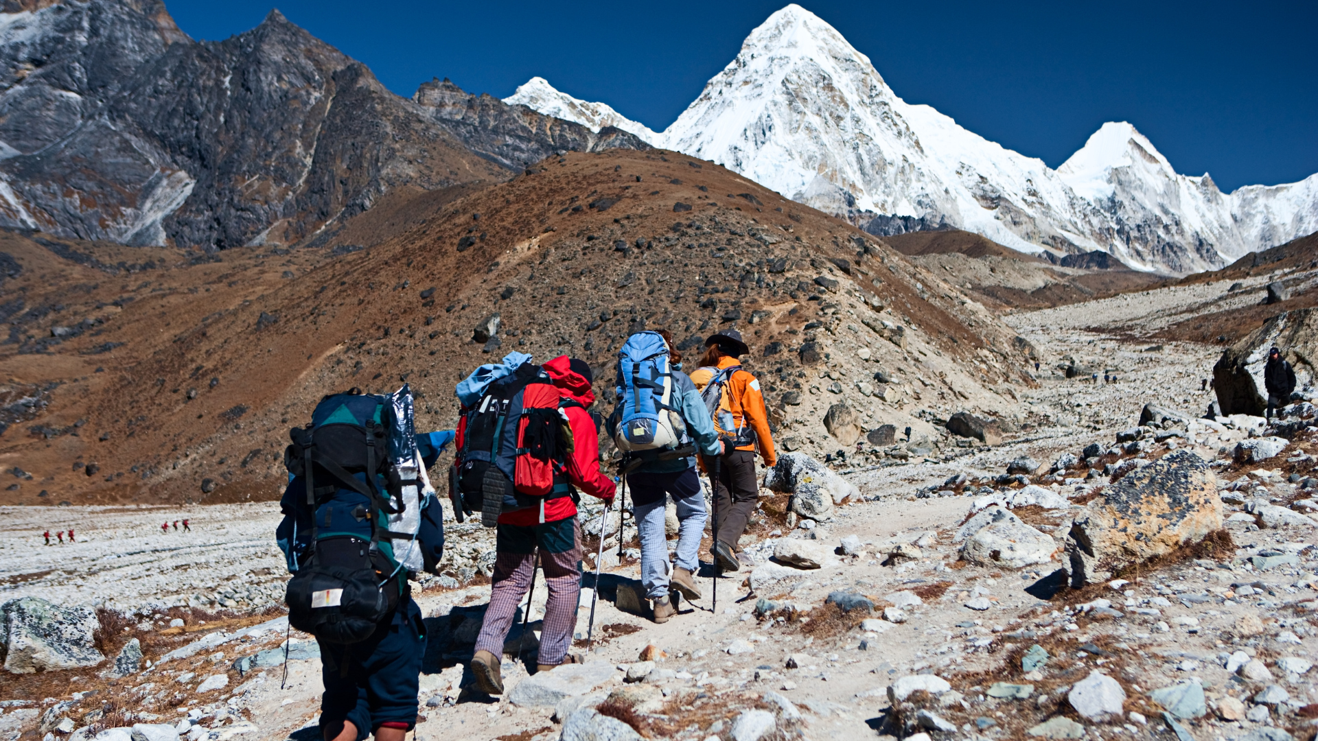
There are little guesthouses in almost every village that you pass. You should expect basic facilities with shared bathrooms. Most places provide blankets but it is better to bring your own sleeping bag.
Most guesthouses have the rule that you have to eat at the guesthouse in order to get a room. The food can be a hit or miss depending on how broad your taste buds are! Some guesthouses have been known to serve Yak Burgers, delicious soups, vegetables, momos and the signature meal of the area – Dal Bhat.
How Much Does It Cost
If you are going solo then you should expect to pay between $700 and $1,000 USD for your permit, food, drinks and accommodation. You won’t find an ATM until you finish so make sure you carry enough cash with you for the entire duration of your trek. If you decide to arrange your own group and then hire a guide, then you should expect to pay about $25 per day. For the additional help of a porter, expect to pay about $15 per day.
If you decide to join a small group with a tour provider then you should expect to pay between $1,500 and $2,200 USD.
What Is The Weather Like During Trekking Season?
At the lower altitudes the weather is normally quite warm with average daily temperatures of about 15°C and the night time temperatures dropping done to freezing. The higher you get towards the Thorong La Pass, the colder the temperatures will be.
Interestingly, the climate on the Western side of the pass is much, much drier compared to the climate on the Eastern side. Because of the dry climate on the Western side, there is hardly any vegetation, whilst on the Eastern side in the Manang Valley you will see much more vegetation and cultivated lands.
